27/08/15
Lesson 2-Personality of Earth's Surface
Learning Objective: I can identify the relationships between climate, vegetative biome, and population density maps.
DA: Identify the longest and widest continents.
Introduce the three types of maps placed in Student Handout 3.1.
Students work in pairs or small groups.
Download and complete chart:
DA: Identify the longest and widest continents.
Introduce the three types of maps placed in Student Handout 3.1.
Students work in pairs or small groups.
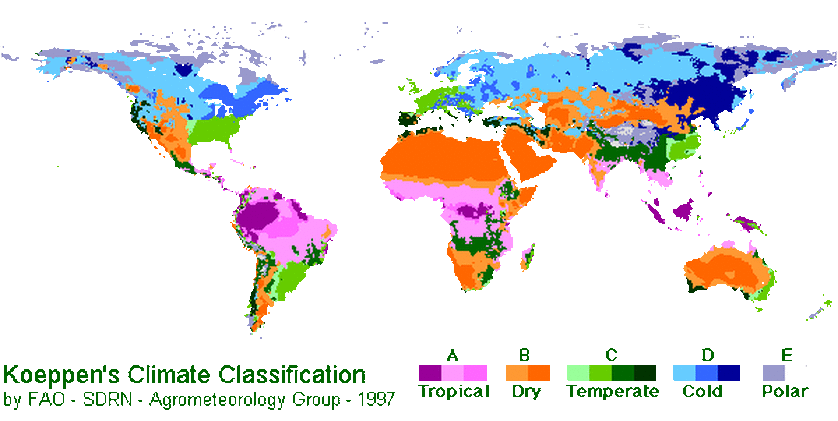
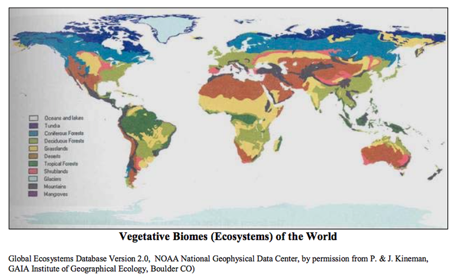
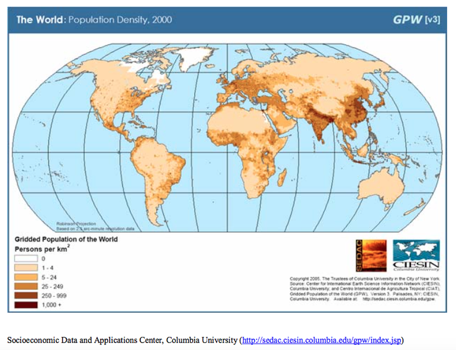
- At a glance, how does the climate and vegetation maps correlate?
Download and complete chart:
| landscape_0.2.28.pdf |
Discuss questions from chart handout.
Moving on the Continental Axes:
What observations can you make from the map below?
Moving on the Continental Axes:
What observations can you make from the map below?
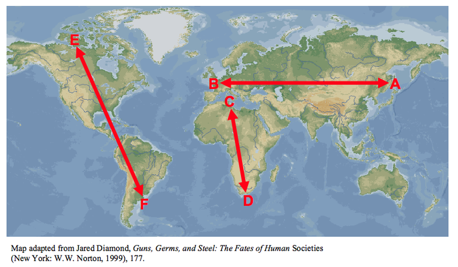
Read following text as a class, making connections to the map: